River Conditions
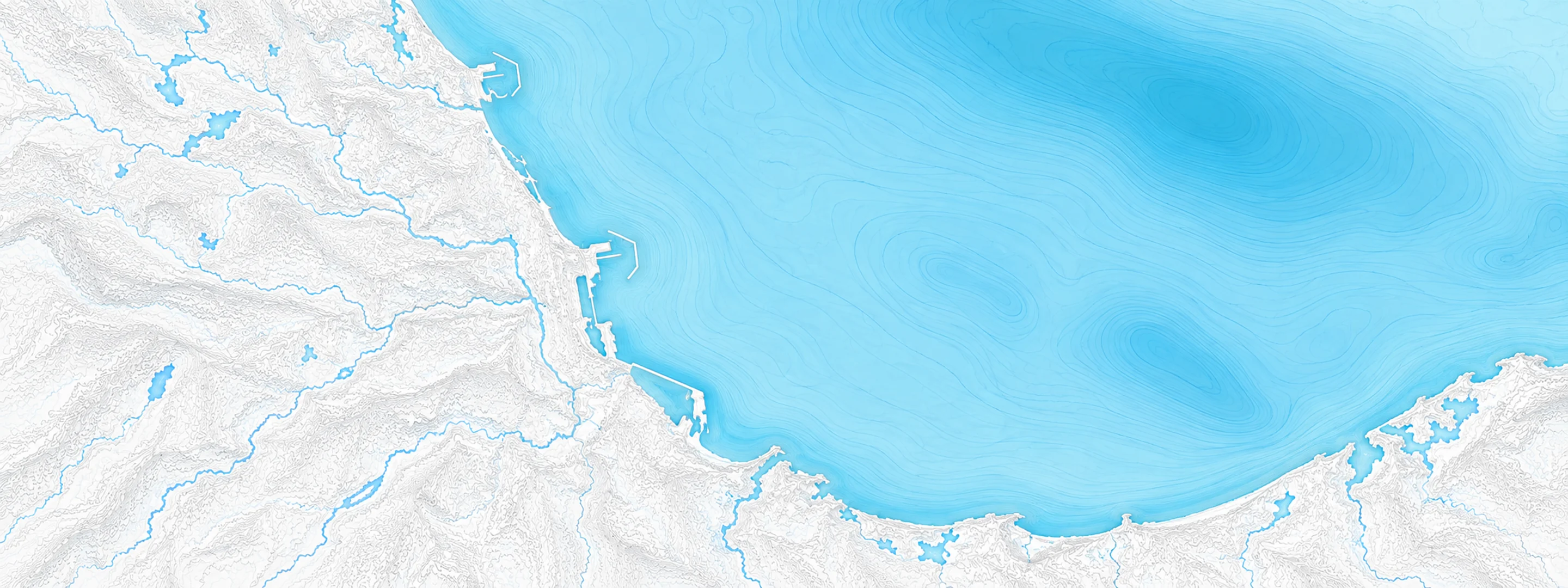
Illustrated map of Lake Michigan at Chicago

River stage

La Salle, Illinois River

River level
12.02 ft
Status
Below flood stage
Action stage
19.00 ft
Flood stage
20.00 ft
Record crest
34.44 ft

Last reported 2026-10-13 | NWS LSLI2

Record crest
34.44 ft
Flood stage
20.00 ft
Moderate flood
27.00 ft
Major flood
31.00 ft
Crest date
2013-04-20

In brief

The Illinois River at La Salle, IL read 12.02 ft on Oct 13, 2026, 6.98 ft below action stage.

Source: National Weather Service gauge LSLI2

Stage threshold profile

Action stage 19.00 ftMinor flooding 20.00 ftModerate flooding 27.00 ftMajor flooding 31.00 ft CURRENT 12.02 ft

Highest crests on record

RankCrestDate
1 34.44 ft 2013-04-20
2 33.79 ft 2008-09-16
3 33.14 ft 2020-05-20
4 32.14 ft 2019-05-03
5 32.05 ft 1982-12-05
6 32.02 ft 2009-03-12
7 31.75 ft 1979-03-21
8 31.70 ft 1985-03-06

Flood crests recorded at this gauge by the National Weather Service.

What happens at each level

  1. 17.50 ft

    Low-lying agricultural land near the river is inundated.

  2. 20.00 ft

    Agricultural areas in La Salle, Spring Valley, and Peru are inundated.

  3. 22.00 ft

    Lower parking lot at Starved Rock State Park is inundated east of La Salle. High water levels begin to impact shipping interests along the river.

  4. 28.00 ft

    Dee Bennet Road is threatened between Ottawa and Utica.

  5. 28.50 ft

    Water Street is threatened in Peru.

  6. 30.00 ft

    La Salle water pumping station property is threatened.

  7. 31.00 ft

    A couple structures threatened in North Utica.

  8. 32.00 ft

    Numerous industrial and utility properties are threatened along Water Street near downtown LaSalle. A few residences threatened in North Utica. IL-178 (Clark Street) threatened in North Utica.

  9. 33.00 ft

    A couple structures are threatened near the river in downtown La Salle.

  10. 34.50 ft

    North Utica Village Hall, police department, and wastewater treatment plant property are threatened.

Written by the local National Weather Service forecast office for this exact gauge.

Frequently asked questions

Is the Illinois River flooding at La Salle?

No. The Illinois River at La Salle is at 12.02 ft, 6.98 ft below action stage.

What is the flood stage at La Salle?

The National Weather Service sets action stage 19 ft, minor flooding 20 ft, moderate flooding 27 ft and major flooding 31 ft.

What is the highest the Illinois River has been at La Salle?

The highest crest on record is 34.44 ft, on 2013-04-20.

Stage and flood information from the NOAA National Weather Service (gauge LSLI2); daily history from the U.S. Geological Survey (site 411925089063901). Last reading 2026-10-13. For flood safety decisions always follow official National Weather Service warnings.