River Conditions
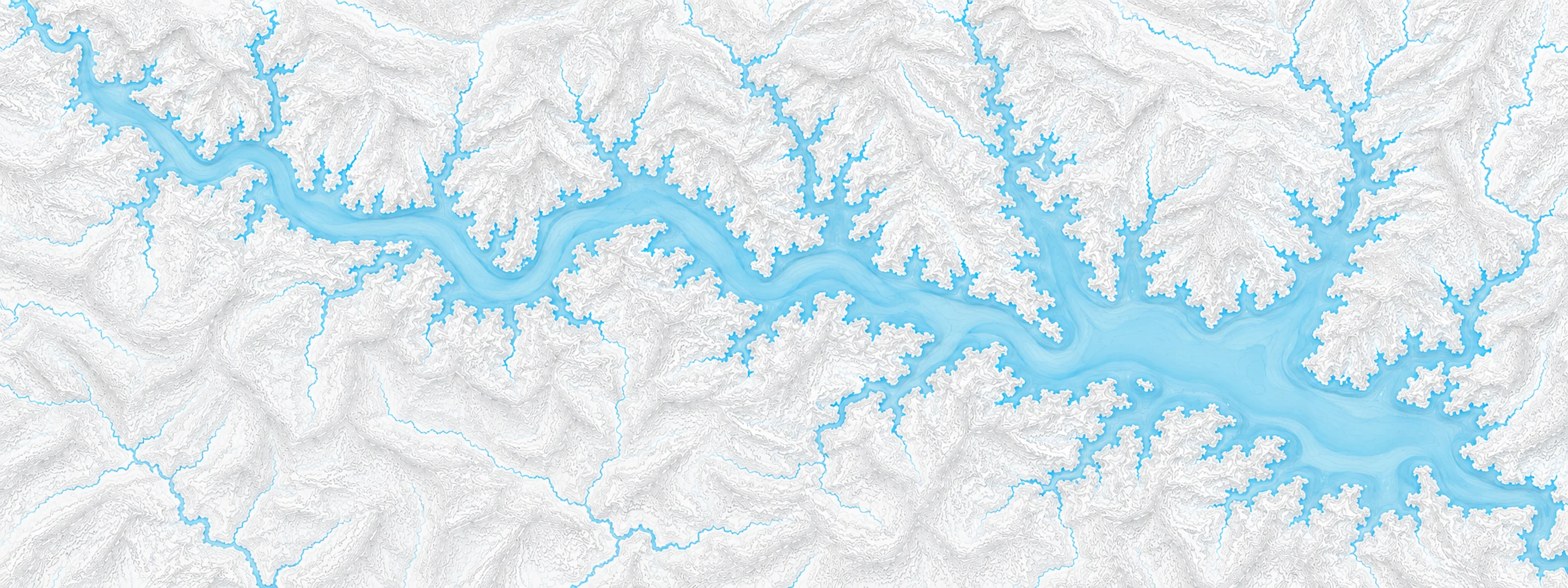
Illustrated map of Beaver Lake

River stage

Des Arc, White River

River level
3.92 ft
Status
Below flood stage
Action stage
23.00 ft
Flood stage
24.00 ft
Record crest
39.43 ft

Last reported 2026-10-13 | NWS DSCA4

Record crest
39.43 ft
Flood stage
24.00 ft
Moderate flood
26.00 ft
Major flood
30.00 ft
Crest date
2011-05-07

In brief

The White River at Des Arc, AR read 3.92 ft on Oct 13, 2026, 19.08 ft below action stage.

Source: National Weather Service gauge DSCA4

Stage threshold profile

Action stage 23.00 ftMinor flooding 24.00 ftModerate flooding 26.00 ftMajor flooding 30.00 ft CURRENT 3.92 ft

Highest crests on record

RankCrestDate
1 39.43 ft 2011-05-07
2 37.35 ft 1949-02-02
3 35.60 ft 1945-04-03
4 35.53 ft 2017-05-09
5 34.20 ft 1973-04-28
6 33.78 ft 2008-04-17
7 33.74 ft 2008-03-26
8 33.10 ft 2025-04-13

Flood crests recorded at this gauge by the National Weather Service.

What happens at each level

  1. 21.00 ft

    Minor flooding of farmlands within the levees.

  2. 24.00 ft

    Many acres of farmland flooded within the levees. Water is backing up Bayou Des Arc and Cypress Bayou.

  3. 27.00 ft

    Water is backing up Bayou Des Arc and Cypress Bayou. West Park Drive is inundated.

  4. 28.00 ft

    Many roads are likley impacted by high water including Horshoe Lake Road and Hill Lake Road north of Des Arc.

  5. 30.00 ft

    Numerous county roads and bridges inundated. Many dollars in damages in Prairie County. Extensive farmland and timberland flooded. Backwater flooding of Wattensaw Bayou and Bayou Des Arc. Patrolling of Kitty Barnes Levee on East Bank begins.

  6. 32.00 ft

    Flood of December 1982 crested at 32.1 ft. Third highest crest since upstream reservoirs completed. Extensive flooding in the river valley with numerous roads flooded and some structures flooded north of Des Arc along Highway 11 and near Spring Lake. A high Mississippi River level can raise and prolong flooding along the lower White River as far upstream as Des Arc.

  7. 33.50 ft

    Homes and highways at Des Arc and nearby are flooded. River crested at 33.7 feet in March and again in April 2008. Very serious flooding. State Highways 33, 38, and 11 all flooded.

  8. 37.00 ft

    Extensive flooding similar to conditions in February 1949 when the river rose to 37.45 feet, with numerous roads closed and homes in and near Des Arc flooded.

  9. 39.00 ft

    Similar conditions to record flood event in May 2011 when river crested at 39.43 feet. Very serious situation with numerous homes, roads, and buisnesses inundated.

Written by the local National Weather Service forecast office for this exact gauge.

Frequently asked questions

Is the White River flooding at Des Arc?

No. The White River at Des Arc is at 3.92 ft, 19.08 ft below action stage.

What is the flood stage at Des Arc?

The National Weather Service sets action stage 23 ft, minor flooding 24 ft, moderate flooding 26 ft and major flooding 30 ft.

What is the highest the White River has been at Des Arc?

The highest crest on record is 39.43 ft, on 2011-05-07.

Stage and flood information from the NOAA National Weather Service (gauge DSCA4). Last reading 2026-10-13. For flood safety decisions always follow official National Weather Service warnings.