River Conditions
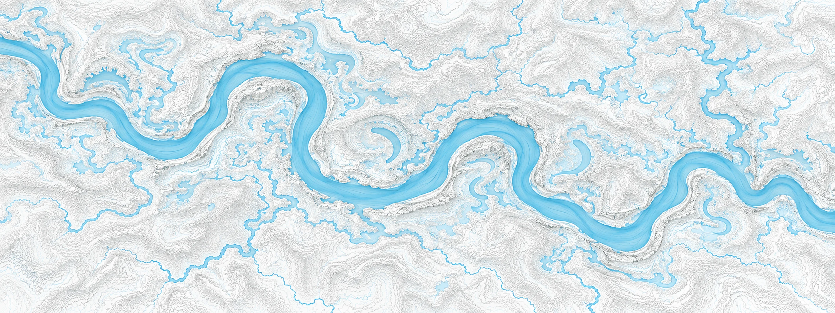
Illustrated map of Suwannee River

River stage

Ellaville, Suwannee River

River level
32.63 ft
Status
Below flood stage
Action stage
49.00 ft
Flood stage
53.00 ft
Record crest
67.38 ft

Last reported 2026-10-14 | NWS ELLF1

Readings
122
Record crest
67.38 ft
Flood stage
53.00 ft
Moderate flood
60.00 ft
Major flood
65.00 ft

In brief

The Suwannee River at Ellaville, FL read 32.63 ft on Oct 14, 2026, 16.37 ft below action stage.

Source: National Weather Service gauge ELLF1

Stage threshold profile

Action stage 49.00 ftMinor flooding 53.00 ftModerate flooding 60.00 ftMajor flooding 65.00 ft CURRENT 32.63 ft

Highest crests on record

RankCrestDate
1 67.38 ft 1948-04-07
2 64.25 ft 1973-04-13
3 63.60 ft 1928-08-20
4 63.11 ft 2009-04-10
5 61.07 ft 1986-02-19
6 60.95 ft 1998-03-18
7 60.12 ft 1991-03-12
8 60.00 ft 1984-04-09

Flood crests recorded at this gauge by the National Weather Service.

What happens at each level

  1. 46.25 ft

    Florida Fish and Wildlife Commission begins enforcement of a no wake zone on the Suwannee River from the US-90 bridge at Ellaville south to the SR-51 bridge at Luraville.

  2. 50.00 ft

    Suwannee River campsites begin to flood in Hamilton and Suwannee Counties. Picnic areas in Madison County near the old US-90 bridge begin to flood.

  3. 54.00 ft

    Extensive lowland flooding occurs on the Madison and Suwannee sides of the river, including in the Suwannee River State Park.

  4. 57.00 ft

    205th Court and 205th Terrace in Suwannee County begin to flood.

  5. 58.00 ft

    Access to Suwannee River State Park becomes restricted in Suwannee County.

  6. 60.00 ft

    Water approaches two homes off 38th Terrace in Suwannee County.

  7. 62.10 ft

    Water reaches the approach road surface to the US-90 bridge in Madison County about 0.4 miles west of the bridge.

  8. 63.00 ft

    Residences on 38th Terrace flood in Suwannee County.

  9. 64.00 ft

    SE 165th Street in Madison County floods on the north side of Interstate 10.

  10. 65.00 ft

    Water reaches the approach road surface to the US-90 bridge in Suwannee County about one quarter mile east of the bridge. Water begins to surround the electric substation in Suwannee County.

Written by the local National Weather Service forecast office for this exact gauge.

Frequently asked questions

Is the Suwannee River flooding at Ellaville?

No. The Suwannee River at Ellaville is at 32.63 ft, 16.37 ft below action stage.

What is the flood stage at Ellaville?

The National Weather Service sets action stage 49 ft, minor flooding 53 ft, moderate flooding 60 ft and major flooding 65 ft.

What is the highest the Suwannee River has been at Ellaville?

The highest crest on record is 67.38 ft, on 1948-04-07.

Stage and flood information from the NOAA National Weather Service (gauge ELLF1); daily history from the U.S. Geological Survey (site 02319500). Last reading 2026-10-14. For flood safety decisions always follow official National Weather Service warnings.