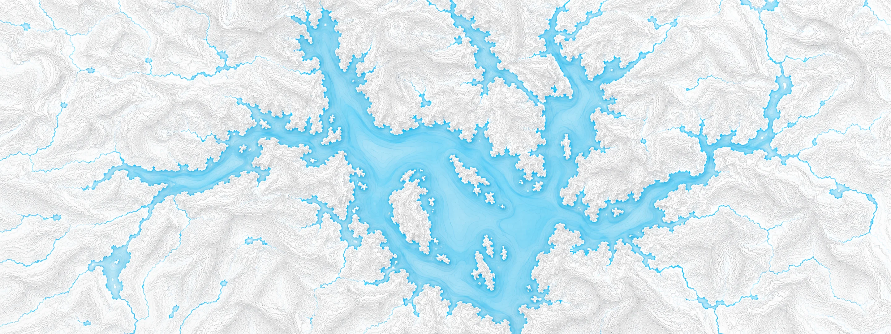
River stage
Edmundston, St. John River
- River level
- 440.39 ft
- Status
- Below flood stage
- Action stage
- 455.00 ft
- Flood stage
- 460.00 ft
Last reported 2026-10-13 | NWS SJEB3
- Flood stage
- 460.00 ft
In brief
The St. John River at Edmundston, ME read 440.39 ft on Oct 13, 2026, 14.61 ft below action stage.
Source: National Weather Service gauge SJEB3
Stage threshold profile
What happens at each level
Written by the local National Weather Service forecast office for this exact gauge.
| Stage | Impact |
|---|---|
| 455.00 ft | Low lying agricultural fields between Madawaska and Grand Isle become inundated. Flooding also affects low lying areas in Frenchville on the river side of the railroad tracks, impacting additional agricultural fields. |
| 457.00 ft | Up to 2 feet of flowing water inundates agricultural fields between Upper Frenchville and Frenchville. Additional flooding up to 2 feet of inundation affects low lying areas downstream of Madawaska to Lille. |
| 460.00 ft | Several feet of fast-moving water inundate agricultural lands between Upper Frenchville and Frenchville near the intersection of State Route 162 and US Route 1, creating dangerous flow conditions. Significant inundation occurs in low-lying agricultural fields between Madawaska and Lille. Additionally, backwater flooding along small creeks and streams emptying into the St. John River between Upper Frenchville and Lille threatens US Route 1 infrastructure. |
| 462.00 ft | Flood impacts are similar to the April 2019 event. Floodwaters are beginning to threaten the railroad tracks between Upper Frenchville and Frenchville. Dangerous flows are encroaching on US Route 1 in Upper Frenchville, near the Fort Kent town line and the Pine Island area of the St. John River. Additionally, backwater flooding in Frenchville drainage areas may cause minor flooding of properties. |
Frequently asked questions
Is the St. John River flooding at Edmundston?
No. The St. John River at Edmundston is at 440.39 ft, 14.61 ft below action stage.
What is the flood stage at Edmundston?
The National Weather Service sets action stage 455 ft and minor flooding 460 ft.
What is the highest the St. John River has been at Edmundston?
The National Weather Service has not published a crest history for this gauge.
Stage and flood information from the NOAA National Weather Service (gauge SJEB3). Last reading 2026-10-13. For flood safety decisions always follow official National Weather Service warnings.