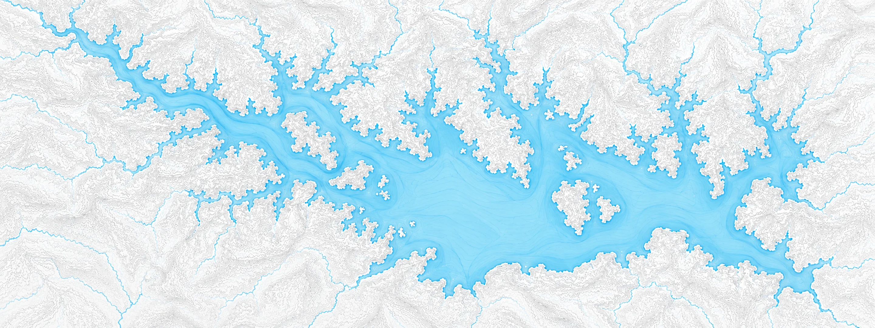
River stage
Lake Marion, Santee River
- River level
- 72.99 ft
- Status
- Below flood stage
- Action stage
- 79.80 ft
- Flood stage
- 80.00 ft
- Moderate flood
- 82.00 ft
Last reported 2026-10-13 | NWS LMES1
- Flood stage
- 80.00 ft
- Moderate flood
- 82.00 ft
- Major flood
- 83.00 ft
In brief
The Santee River at Lake Marion, SC read 72.99 ft on Oct 13, 2026, 6.81 ft below action stage.
Source: National Weather Service gauge LMES1
Stage threshold profile
What happens at each level
Written by the local National Weather Service forecast office for this exact gauge.
| Stage | Impact |
|---|---|
| 79.80 ft | Water get up to ramp leading to cabins elevated off shore |
| 81.70 ft | Flood water gets into the middle of parking lot used for cabins 1 to 5. |
| 83.00 ft | Flood water gets into structures in the park and into the cabins off shore. |
| 84.70 ft | Flood water gets into gage equipment which will be destroyed at higher levels. |
| 87.20 ft | Flood water gets into Visitor Center parking lot. |
Frequently asked questions
Is the Santee River flooding at Lake Marion?
No. The Santee River at Lake Marion is at 72.99 ft, 6.81 ft below action stage.
What is the flood stage at Lake Marion?
The National Weather Service sets action stage 79.8 ft, minor flooding 80 ft, moderate flooding 82 ft and major flooding 83 ft.
What is the highest the Santee River has been at Lake Marion?
The National Weather Service has not published a crest history for this gauge.
Stage and flood information from the NOAA National Weather Service (gauge LMES1); daily history from the U.S. Geological Survey (site 02169921). Last reading 2026-10-13. For flood safety decisions always follow official National Weather Service warnings.