River Conditions
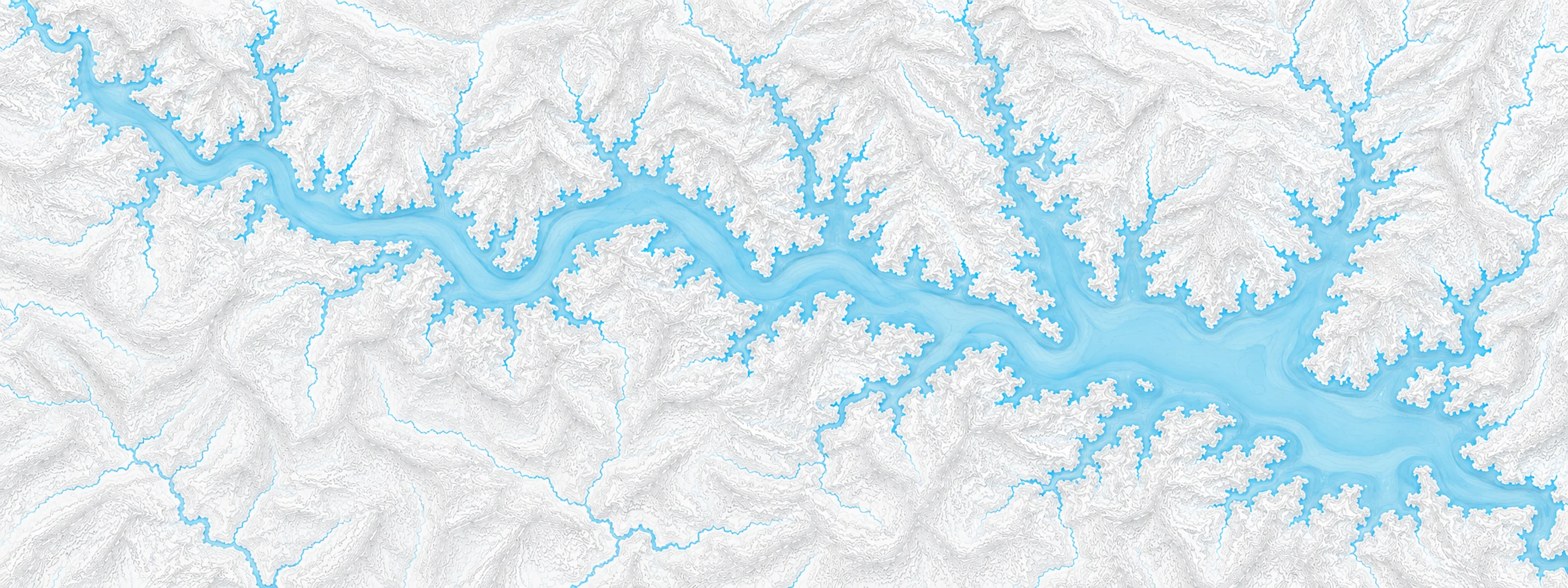
Illustrated map of Beaver Lake

River stage

Grand Ecore, Red River

River level
20.36 ft
Status
Below flood stage
Action stage
32.00 ft
Flood stage
33.00 ft
Record crest
44.70 ft

Last reported 2026-10-13 | NWS GREL1

Record crest
44.70 ft
Flood stage
33.00 ft
Moderate flood
36.00 ft
Major flood
39.00 ft
Crest date
1945-04-10

In brief

The Red River at Grand Ecore, LA read 20.36 ft on Oct 13, 2026, 11.64 ft below action stage.

Source: National Weather Service gauge GREL1

Stage threshold profile

Action stage 32.00 ftMinor flooding 33.00 ftModerate flooding 36.00 ftMajor flooding 39.00 ft CURRENT 20.36 ft

Highest crests on record

RankCrestDate
1 44.70 ft 1945-04-10
2 42.03 ft 2015-06-13
3 42.00 ft 1957-05-10
4 41.90 ft 1958-05-11
5 41.89 ft 2016-03-17
6 40.70 ft 1990-05-18
7 40.50 ft 1953-05-22
8 40.20 ft 1927-05-07

Flood crests recorded at this gauge by the National Weather Service.

What happens at each level

  1. 33.00 ft

    Minor flooding of lowlands in the Red River floodplain between levees take place.

  2. 36.00 ft

    Minor lowland flooding of several hundred acres both upstream and downstream from Grand Ecore take place with backwater flooding of tributary bayous that include Bayou Pierre up through Powhattan, Louisiana. Backwater flooding also affects Iatt, Saline, Black, and Nantaches Bayous. Move livestock and equipment to higher ground away from levees.

  3. 38.00 ft

    Expect several hundred acres of floodplain inundated near the levees. Also expect major backwater flooding up through Bayou Pierre to between Powhattan and Evelyn, Louisiana. Also expect backwater flooding up through Iatt, Nantaches, and Black, Clear, and Saline Bayous.

  4. 40.00 ft

    Major backwater flooding problems will affect Bayou Pierre, Black and Saline Bayous and the Cane River Lake tributaries with thousands of acres flooded. Severe backwater flooding will spread upstream along Bayou Pierre through Powhattan and Evelyn, Louisiana. Also expect backwater flooding of Black and Clear lakes along with the closure of Louisiana highway 1226.

  5. 41.00 ft

    Severe backwater flooding along Bayou Pierre with backup of water into Black, Clear and Saline lakes will take place. Also expect several thousand acres of floodplain inundated near the levees.

  6. 42.00 ft

    Several thousand acres of floodplain inundated and also including the ditches of the northbound lanes of Interstate 49 northwest of Natchitoches. Expect major backwater flooding into Black, Clear, and Saline Lakes. U.S. Highway 71 may close.

  7. 45.00 ft

    Record flooding of tens of thousands of acres with most of the levees overtopped or in the process of being overtopped in the Powhattan area. Expect severe backwater flooding of all tribuatary bayous. Travel becomes very difficult as multiple U.S., Louisiana state, parish, and local highways flood and close. The Kansas City Southern Railroad floods and closes.

Written by the local National Weather Service forecast office for this exact gauge.

Frequently asked questions

Is the Red River flooding at Grand Ecore?

No. The Red River at Grand Ecore is at 20.36 ft, 11.64 ft below action stage.

What is the flood stage at Grand Ecore?

The National Weather Service sets action stage 32 ft, minor flooding 33 ft, moderate flooding 36 ft and major flooding 39 ft.

What is the highest the Red River has been at Grand Ecore?

The highest crest on record is 44.7 ft, on 1945-04-10.

Stage and flood information from the NOAA National Weather Service (gauge GREL1); daily history from the U.S. Geological Survey (site 07351930). Last reading 2026-10-13. For flood safety decisions always follow official National Weather Service warnings.