River Conditions
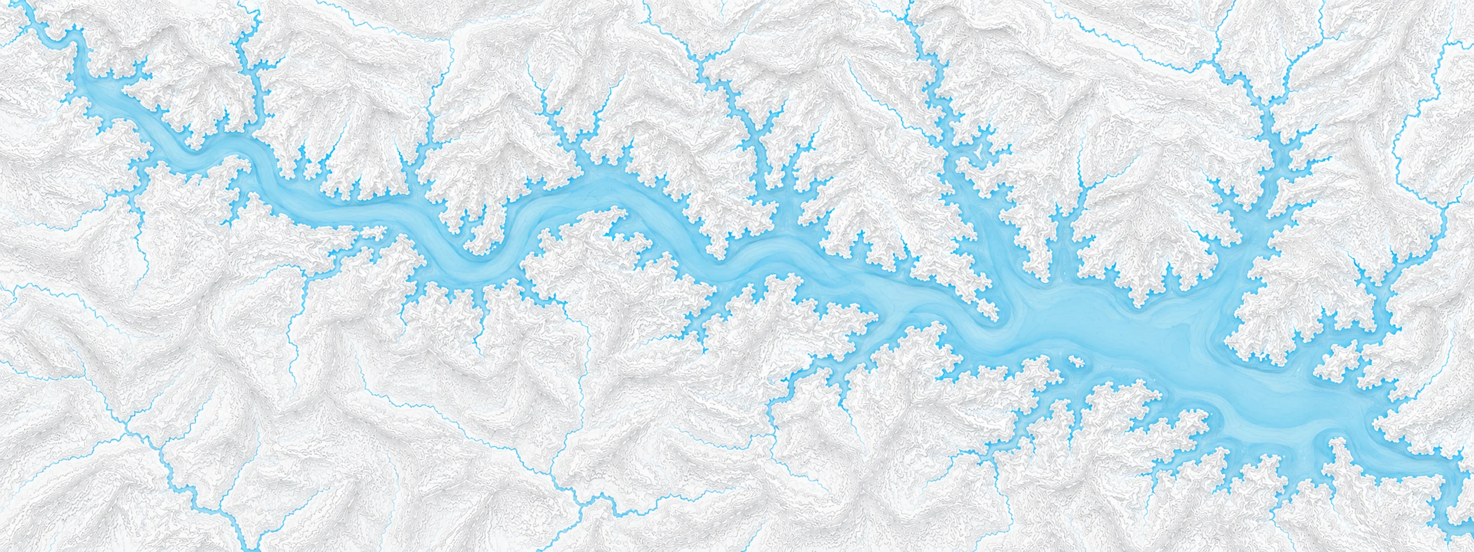
Illustrated map of Beaver Lake

River stage

Coushatta, Red River

River level
25.14 ft
Status
Below flood stage
Action stage
30.50 ft
Flood stage
31.00 ft
Record crest
39.90 ft

Last reported 2026-10-13 | NWS CSHL1

Record crest
39.90 ft
Flood stage
31.00 ft
Moderate flood
33.00 ft
Major flood
37.00 ft
Crest date
1945-04-07

In brief

The Red River at Coushatta, LA read 25.14 ft on Oct 13, 2026, 5.36 ft below action stage.

Source: National Weather Service gauge CSHL1

Stage threshold profile

Action stage 30.50 ftMinor flooding 31.00 ftModerate flooding 33.00 ftMajor flooding 37.00 ft CURRENT 25.14 ft

Highest crests on record

RankCrestDate
1 39.90 ft 1945-04-07
2 39.20 ft 1892-06-05
3 38.83 ft 2015-06-11
4 38.45 ft 1958-05-09
5 38.10 ft 1890-02-15
6 37.50 ft 1990-05-17
7 36.87 ft 2016-03-16
8 35.25 ft 1942-05-06

Flood crests recorded at this gauge by the National Weather Service.

What happens at each level

  1. 29.00 ft

    Some minor backwater flooding occurs, from the confluence of the Red River with Loggy Bayou, to below Lake Bistineau.

  2. 31.00 ft

    Minor flooding occurs. Minor backwater flooding occurs from the confluence or the Red River with Loggy Bayou as well as up through the lower Flat River and lower Red Chute Bayou in southern Bossier Parish. Livestock and equipment should be moved to higher ground.

  3. 33.00 ft

    Moderate flooding occurs. Severe backwater flooding occurs from the confluence of the Red River with Loggy Bayou through the lower Flat River and Red Chute Bayou in southern Bossier Parish. Cattle and equipment should be moved to higher ground away from levees.

  4. 34.00 ft

    Moderate flooding occurs. Severe backwater flooding occurs from the confluence of the Red River with Loggy Bayou through the lower Flat River and Red Chute Bayou in southern Bossier Parish. Cattle and equipment should be moved to higher ground away from levees.

  5. 35.00 ft

    Moderate flooding occurs. Severe backwater flooding occurs from the confluence of the Red River with Loggy Bayou through the lower Flat River and Red Chute Bayou in southern Bossier Parish. Cattle and equipment should be moved to higher ground away from levees.

  6. 38.00 ft

    Major and near-record flooding occurs. Several secondary roads flood and must be closed. Louisiana highway 515 closed due to backwater flooding into Loggy Bayou. Additionally, Lake Bistineau will rise above flood pool stage due to backwater. Louisiana Highway 480 will be closed as well. Cattle and equipment should be moved to higher ground well away from levee systems. Expect extensive flooding in and near levee systems.

Written by the local National Weather Service forecast office for this exact gauge.

Frequently asked questions

Is the Red River flooding at Coushatta?

No. The Red River at Coushatta is at 25.14 ft, 5.36 ft below action stage.

What is the flood stage at Coushatta?

The National Weather Service sets action stage 30.5 ft, minor flooding 31 ft, moderate flooding 33 ft and major flooding 37 ft.

What is the highest the Red River has been at Coushatta?

The highest crest on record is 39.9 ft, on 1945-04-07.

Stage and flood information from the NOAA National Weather Service (gauge CSHL1); daily history from the U.S. Geological Survey (site 07350500). Last reading 2026-10-13. For flood safety decisions always follow official National Weather Service warnings.