River Conditions
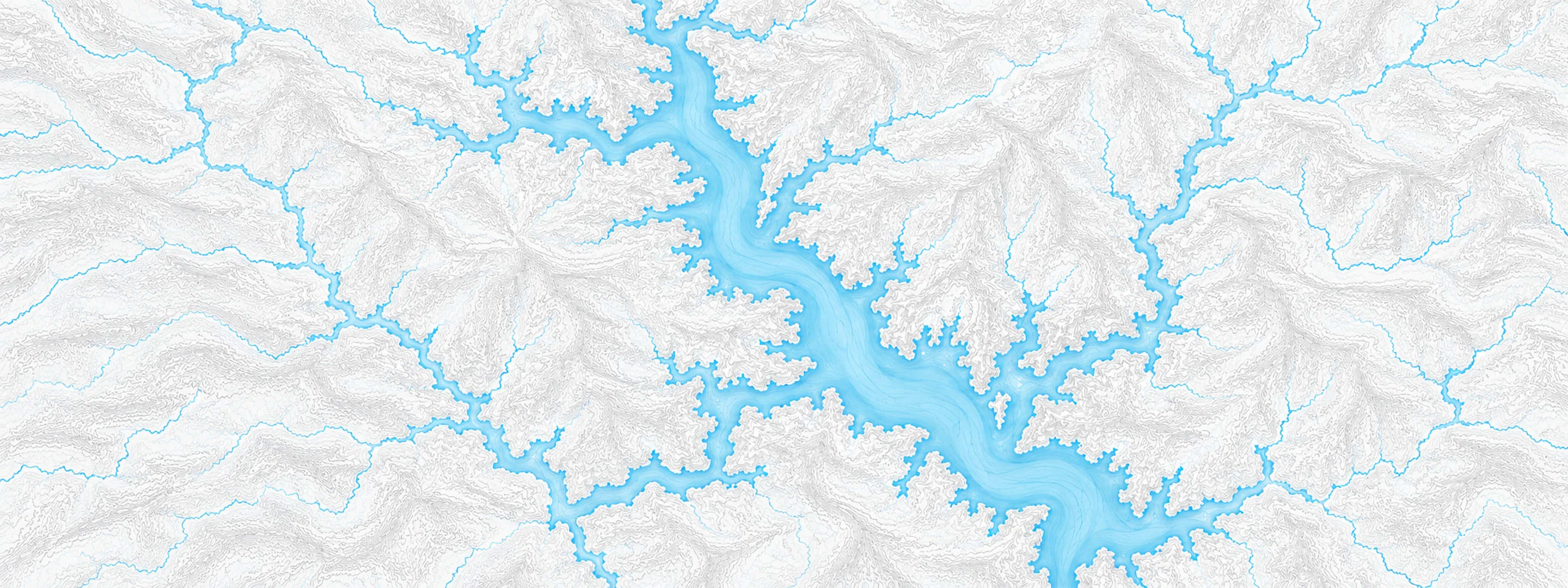
Illustrated map of Brookville Lake

River stage

Cagles Mill Lake, Mill Creek

River level
638.94 ft
Status
Below flood stage
Action stage
704.00 ft
Flood stage
704.00 ft
Record crest
692.07 ft

Last reported 2026-10-13 | NWS CAGI3

Record crest
692.07 ft
Flood stage
704.00 ft
Moderate flood
704.00 ft
Major flood
704.00 ft
Crest date
2008-06-18

In brief

The Mill Creek at Cagles Mill Lake, IN read 638.94 ft on Oct 13, 2026, 65.06 ft below action stage.

Source: National Weather Service gauge CAGI3

Stage threshold profile

Action stage 704.00 ftMinor flooding 704.00 ftModerate flooding 704.00 ftMajor flooding 704.00 ft CURRENT 638.94 ft

Highest crests on record

RankCrestDate
1 692.07 ft 2008-06-18
2 691.18 ft 2011-05-06
3 690.36 ft 1996-06-14
4 689.60 ft 1979-08-30
5 686.16 ft 2002-05-17
6 683.87 ft 2005-01-18
7 682.66 ft 2007-01-23
8 682.25 ft 1993-12-08

Flood crests recorded at this gauge by the National Weather Service.

What happens at each level

  1. 628.00 ft

    Old Cunot launch ramp is totally exposed.

  2. 629.00 ft

    Beach area and IDNR launch ramp are totally exposed. The bottom of the staff gage is exposed. Three lead connections of the Cathodic Protection field become exposed.

  3. 629.90 ft

    Control tower gage becomes unusable.

  4. 631.00 ft

    Cunot launch ramp becomes totally exposed.

  5. 636.00 ft

    Winter pool elevation. Winter pool covers 1,400 acres and extends 10 miles.

  6. 639.50 ft

    Summer Pool Elevation. Summer Pool covers an estimated 1,600 acres and extends about 10.3 miles.

  7. 640.50 ft

    Beach road closed.

  8. 643.50 ft

    Lieber Recreation Area beach closed.

  9. 644.00 ft

    Emergency gate entrance slots underwater.

  10. 647.50 ft

    Cunot Boat Ramp inaccessible. Launching from the roadway begins.

Written by the local National Weather Service forecast office for this exact gauge.

At this level: Winter pool elevation. Winter pool covers 1,400 acres and extends 10 miles.

Frequently asked questions

Is the Mill Creek flooding at Cagles Mill Lake?

No. The Mill Creek at Cagles Mill Lake is at 638.94 ft, 65.06 ft below action stage.

What is the flood stage at Cagles Mill Lake?

The National Weather Service sets action stage 704 ft, minor flooding 704 ft, moderate flooding 704 ft and major flooding 704 ft.

What is the highest the Mill Creek has been at Cagles Mill Lake?

The highest crest on record is 692.07 ft, on 2008-06-18.

Stage and flood information from the NOAA National Weather Service (gauge CAGI3); daily history from the U.S. Geological Survey (site 03358900). Last reading 2026-10-13. For flood safety decisions always follow official National Weather Service warnings.