River Conditions
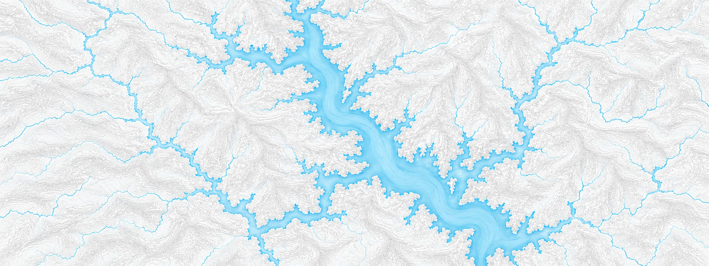
Illustrated map of Brookville Lake

River stage

Williams, East Fork White River

River level
0.80 ft
Status
Below flood stage
Action stage
5.00 ft
Flood stage
8.00 ft
Record crest
31.00 ft

Last reported 2026-10-13 | NWS WLLI3

Record crest
31.00 ft
Flood stage
8.00 ft
Moderate flood
14.00 ft
Major flood
20.00 ft
Crest date
1913-03-27

In brief

The East Fork White River at Williams, IN read 0.80 ft on Oct 13, 2026, 4.20 ft below action stage.

Source: National Weather Service gauge WLLI3

Stage threshold profile

Action stage 5.00 ftMinor flooding 8.00 ftModerate flooding 14.00 ftMajor flooding 20.00 ft CURRENT 0.80 ft

Highest crests on record

RankCrestDate
1 31.00 ft 1913-03-27
2 25.00 ft 1937-01-25
3 22.40 ft 1961-05-12
4 21.50 ft 1945-03-09
5 21.30 ft 2005-01-09
6 21.00 ft 1959-01-26
7 20.90 ft 1950-01-09
8 20.60 ft 1930-01-14

Flood crests recorded at this gauge by the National Weather Service.

What happens at each level

  1. 6.50 ft

    Low private campgrounds begin to flood.

  2. 7.30 ft

    State Road 450 at the railroad trestle just east of Williams was covered with high water on the morning of May 16, 2008. This water was too deep for safe passage of cars. On the morning of May 19, 2008...water was off State Road 450...but still on nearby Stumphole Road. River reading was 7.6 feet.

  3. 7.50 ft

    Lowest agricultural lands begin to flood. County Road 400 S (Stumphole Road) near Williams begins to flood. Water is 6 to 10 inches deep and covers about 150 yards of the road. Water on either side of the road could be 12 feet deep.

  4. 8.00 ft

    Flood stage at Williams. Bottomlands are beginning to flood. Stumphole road...South Chase Riffle Road and possibly other rural county roads in Western Lawrence County flood.

  5. 8.40 ft

    SR 450 immediately east of Williams floods. Locals use Ridge Road to travel to Bedford.

  6. 8.60 ft

    Water is on State Road 450 at the railroad trestle just east of Williams.

  7. 8.90 ft

    Water now begins to cover State Road 450 at the Public Access Site just east of Williams.

  8. 9.20 ft

    State Road 450 just east of Williams is closed by high water. Low agricultural grounds flood.

  9. 9.30 ft

    State Road 450 near Williams and South Chase Riffle Road located about 2 miles downstream of Williams flooded at this level. Flooding of low agricultural land in Lawrence and Martin counties.

  10. 9.50 ft

    Campground begins to flood at Williams Dam.

Written by the local National Weather Service forecast office for this exact gauge.

Frequently asked questions

Is the East Fork White River flooding at Williams?

No. The East Fork White River at Williams is at 0.8 ft, 4.2 ft below action stage.

What is the flood stage at Williams?

The National Weather Service sets action stage 5 ft, minor flooding 8 ft, moderate flooding 14 ft and major flooding 20 ft.

What is the highest the East Fork White River has been at Williams?

The highest crest on record is 31.0 ft, on 1913-03-27.

Stage and flood information from the NOAA National Weather Service (gauge WLLI3). Last reading 2026-10-13. For flood safety decisions always follow official National Weather Service warnings.