River Conditions
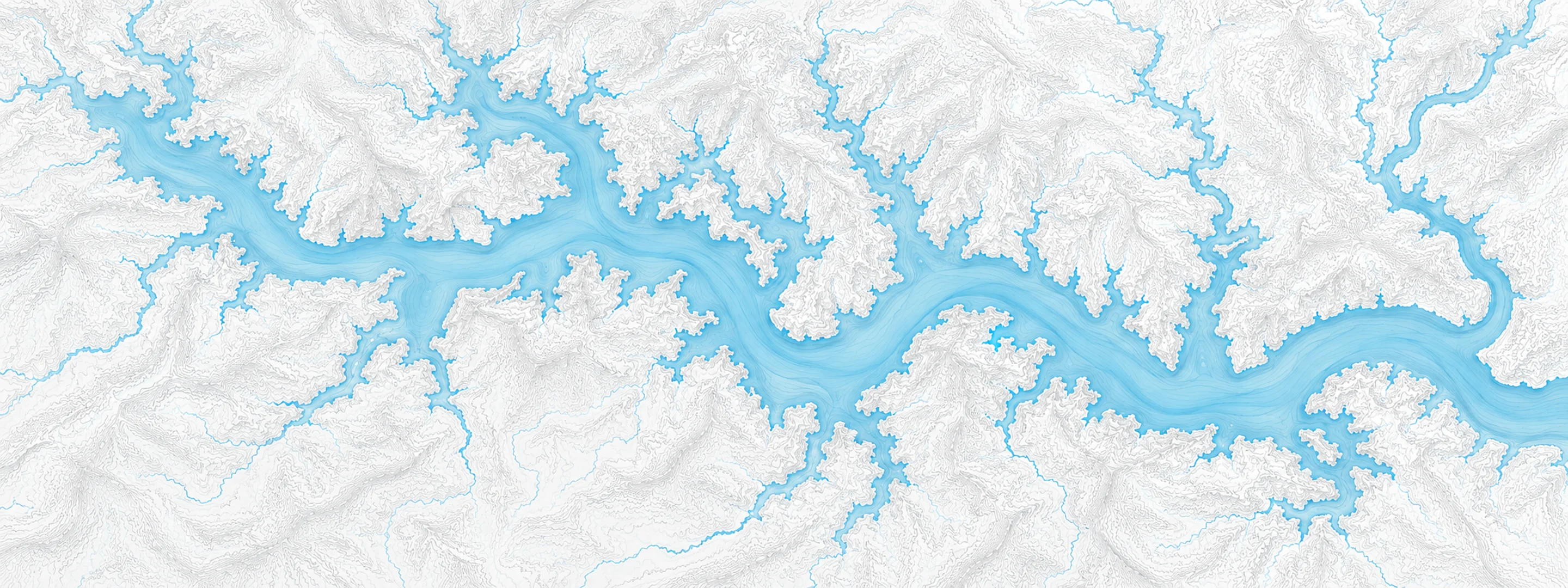
Illustrated map of Lake Travis

River stage

Lake Travis, Colorado River

River level
677.87 ft
Status
Below flood stage
Action stage
681.00 ft
Flood stage
685.00 ft
Record crest
710.44 ft

Last reported 2026-10-13 | NWS MSDT2

Record crest
710.44 ft
Flood stage
685.00 ft
Moderate flood
691.00 ft
Major flood
695.00 ft
Crest date
1991-12-25

In brief

The Colorado River at Lake Travis, TX read 677.87 ft on Oct 13, 2026, 3.13 ft below action stage.

Source: National Weather Service gauge MSDT2

Stage threshold profile

Action stage 681.00 ftMinor flooding 685.00 ftModerate flooding 691.00 ftMajor flooding 695.00 ft CURRENT 677.87 ft

Highest crests on record

RankCrestDate
1 710.44 ft 1991-12-25
2 707.38 ft 1957-05-18
3 705.11 ft 1997-07-07
4 704.68 ft 1992-02-10
5 704.39 ft 2018-10-20
6 701.50 ft 2007-07-06
7 696.70 ft 2004-11-24
8 693.50 ft 2002-07-07

Flood crests recorded at this gauge by the National Weather Service.

What happens at each level

  1. 685.00 ft

    The lowest temporary and mobile homes at Lakeway at Graveyard Point on Lake Travis are threatened.

  2. 688.00 ft

    Lowest temporary and mobile homes at Graveyard Point at Lakeway on Lake Travis flood.

  3. 691.00 ft

    The lowest permanent homes at Graveyard Point at Lakeway on Lake Travis flood. Several temporary homes are in several feet of water.

  4. 695.00 ft

    Lowest temporary and mobile homes in Graveyard Point at Lakeway on Lake Travis have up to seven feet of water in them.

  5. 700.00 ft

    Many homes flood at Graveyard Point at Lakeway on Lake Travis, some with water to their roofs in up to twelve feet of water.

  6. 705.00 ft

    Disastrous residential flooding of hundreds of homes occurs around Lake Travis at Graveyard Point at Lakeway, many with water over their roofs in up to 17 feet of water.

  7. 710.00 ft

    Hundreds of homes around Lake Travis at Graveyard Point at Lakeway flood with water well over some roofs and into the second floor of lower homes.

  8. 714.00 ft

    Flow reaches and goes uncontrolled over the emergency spillway over Mansfield Dam at Lake Travis. Hundreds of homes around Lake Travis flood, many with water well over their roofs or in the second floor level.

Written by the local National Weather Service forecast office for this exact gauge.

Frequently asked questions

Is the Colorado River flooding at Lake Travis?

No. The Colorado River at Lake Travis is at 677.87 ft, 3.13 ft below action stage.

What is the flood stage at Lake Travis?

The National Weather Service sets action stage 681 ft, minor flooding 685 ft, moderate flooding 691 ft and major flooding 695 ft.

What is the highest the Colorado River has been at Lake Travis?

The highest crest on record is 710.44 ft, on 1991-12-25.

Stage and flood information from the NOAA National Weather Service (gauge MSDT2); daily history from the U.S. Geological Survey (site 08154500). Last reading 2026-10-13. For flood safety decisions always follow official National Weather Service warnings.