River Conditions
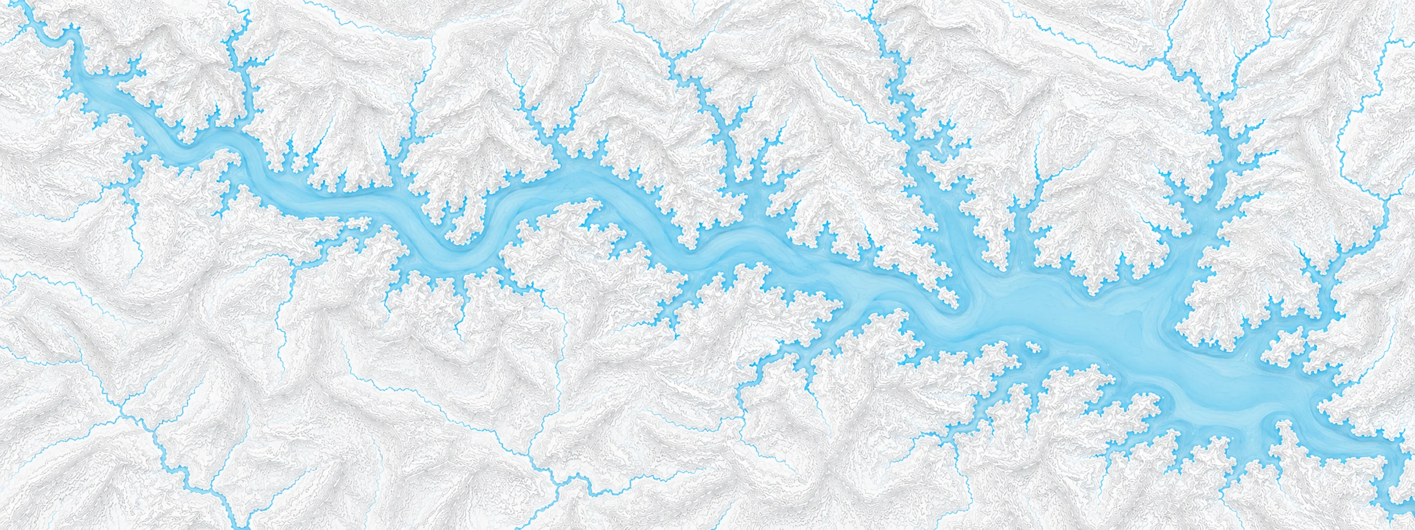
Illustrated map of Beaver Lake

River stage

Pueblo, Arkansas River

River level
1.92 ft
Status
Below flood stage
Action stage
7.00 ft
Flood stage
8.00 ft
Record crest
8.29 ft

Last reported 2026-10-13 | NWS PDAC2

Record crest
8.29 ft
Flood stage
8.00 ft
Moderate flood
9.00 ft
Major flood
11.00 ft
Crest date
2024-06-10

In brief

The Arkansas River at Pueblo, CO read 1.92 ft on Oct 13, 2026, 5.08 ft below action stage.

Source: National Weather Service gauge PDAC2

Stage threshold profile

Action stage 7.00 ftMinor flooding 8.00 ftModerate flooding 9.00 ftMajor flooding 11.00 ft CURRENT 1.92 ft

Highest crests on record

RankCrestDate
1 8.29 ft 2024-06-10
2 8.21 ft 2015-06-21
3 7.70 ft 2010-06-08
4 7.64 ft 2014-06-02
5 7.20 ft 2003-06-03
6 6.93 ft 2006-07-10
7 6.37 ft 2011-07-03

Flood crests recorded at this gauge by the National Weather Service.

What happens at each level

  1. 6.00 ft

    The river is bankfull from east of Pueblo to Avondale.

  2. 7.00 ft

    Minor overbank flow into low spots along the river occurs near Avondale.

  3. 7.50 ft

    Minor overbank flow occurs. Damage to irrigation works is possible.

  4. 8.00 ft

    Water begins to threaten low spots in some local roads. Minor overbank flow into low spots along the river occurs.

  5. 9.00 ft

    Considerable overbank flow occurs along Highway 233, Baxter Road, near the bridge. Water begins to threaten homes from just east of Pueblo to Avondale.

  6. 9.50 ft

    Water begins to inundate Cottonwood and Osprey Picnic Areas below the Pueblo Dam, between the dam and Pueblo Boulevard. Waters spills into fishing access area along Highway 96 about 2 miles west of Pueblo Boulevard.

  7. 10.00 ft

    Water begins to inundate the Nature and Raptor Center of Pueblo, including Coyotes Coffee Den along side the river.

  8. 11.00 ft

    Serious flooding occurs from east of Pueblo to Avondale. Homes threatened east of Pueblo. Flooding occurs near the confluence of the Arkansas River and Wildhorse Creek about 2 miles east of Pueblo Boulevard in Pueblo.

  9. 12.00 ft

    Serious flooding occurs. Homes are threatened. Water flows over parking lot of Cottonwood Picnic Area below the Pueblo Dam.

  10. 12.50 ft

    Serious flooding occurs. Homes are threatened. Considerable flooding of agricultural lands occurs near the Colorado 231 Bridge, 36th Lane.

Written by the local National Weather Service forecast office for this exact gauge.

Water 61 °F (16 °C) · 3 °F cooler than normal for this date

Frequently asked questions

Is the Arkansas River flooding at Pueblo?

No. The Arkansas River at Pueblo is at 1.92 ft, 5.08 ft below action stage.

What is the flood stage at Pueblo?

The National Weather Service sets action stage 7 ft, minor flooding 8 ft, moderate flooding 9 ft and major flooding 11 ft.

What is the highest the Arkansas River has been at Pueblo?

The highest crest on record is 8.29 ft, on 2024-06-10.

How warm is the water at Pueblo, Arkansas River?

The water temperature at Pueblo, Arkansas River is 61 °F (16.0 °C), measured 7:15 pm by USGS, which is 3 °F cooler than normal for this date over the past ten years. It has risen 0.5 °F in the last 24 hours.

Stage and flood information from the NOAA National Weather Service (gauge PDAC2); daily history from the U.S. Geological Survey (site 07099400). Last reading 2026-10-13. For flood safety decisions always follow official National Weather Service warnings.